
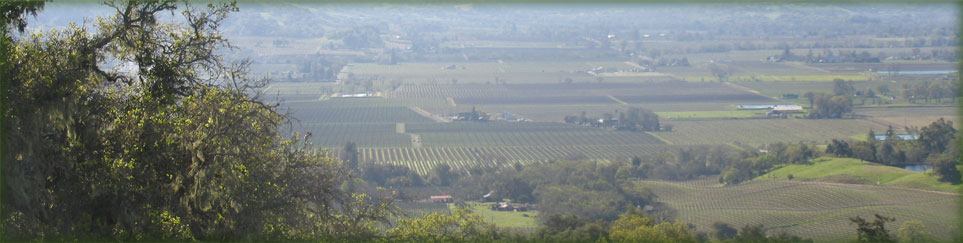

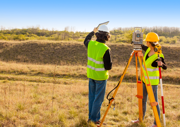
Land Surveys
Our Professional Land Surveyors work with the latest technology, both in the office and field. We provide our clients with years of experience and a genuine desire to provide exceptional service.
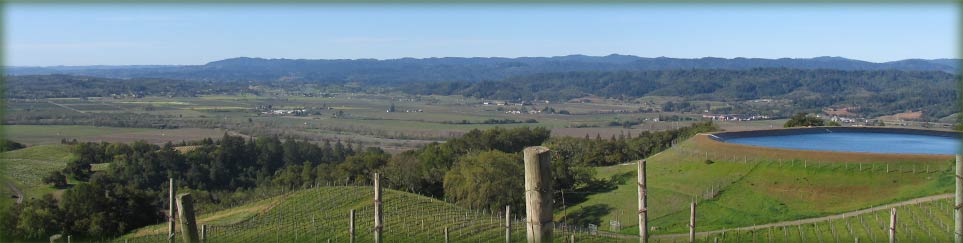
Maps
Our Maps will provide you with a wide variety of readouts and data to use in your projects. We provide surveys for any purpose and to the standards of California law.
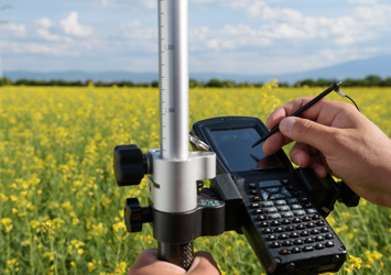
Vineyard Services
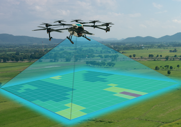
Geographic Information System (GIS) uses innovative technologies to allow you to make management decisions based on accurate as built information. GIS can help develop a vineyard for maximum yield prior to construction.