The Geographic Information System Advantage
The Ray Carlson & Associates, Inc. business model includes an experienced Geographic Information System (GIS) division which serves to enhance the company’s leadership position among land surveying companies. A geographic information system is a blending of software, hardware, and data for capturing, managing, analyzing, and displaying all forms of geographically referenced information. Layers and tables of information are combined to provide a framework in order to plan, model and make better decisions. Your purpose dictates which layers of information are used.
Internally our GIS Division tracks all jobs through a customized GIS-enabled database which allows for increased data access, tracking of submittals and efficiency among adjacent jobs with the integration of thousands of job records. As GIS improves our surveying, so the combination of high precision GPS and land expertise of our surveying professional counterparts allows us to, in turn, to be considered uniquely advantageous among GIS consultants.
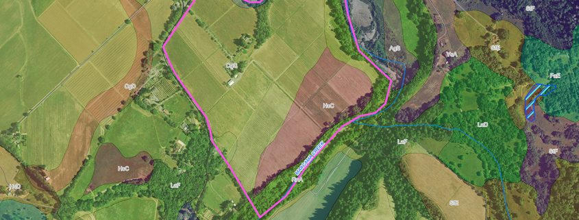
In addition to supporting surveying and mapping services, GIS at Ray Carlson and Associates, Inc. offers considerable benefits to vineyard owners. GIS brings a series of new and highly innovative technologies to industry and agriculture for work planning, inventory control, and site analysis solutions. With seasoned vineyard and certified GIS professionals, we have started from the ground up to build the only verifiable vineyard As-Built mapping system giving you vine level management of your water system and drainage.
Your management decisions are only as good as your as built mapping.
Call Us When
- Making important management decisions that depend on accurate information.
- Buying, selling, or changing the use of property, or dividing into parcels.
- Developing a vineyard or farm for maximum yield and/or demonstrating good land use.
- Prior to construction of any improvement.
- When considering an upgrade or purchase of GPS enabled equipment and/or field telemetry.
- When demonstrating due diligence and compliance to a permit agency.
“Your work has been very useful and has drawn several of the big players to look at the property early on…I was told by a couple of the vineyard managers from [a well-known winery] that the property was a gem and they really liked the info on the website!”
~Eric P. Frost, Realtor
List of GIS General Consulting Services
- Site Assessment for Sale & Purchase
- Aerial Photography – Current & Historical
- Aerial Control and Orthophotography
- Survey-Grade GPS
- 3-D Fly-through Movies
- Custom Database Creation
- Data Conversion & Consolidation
- Training and Continuing Support
- Pond & Hydrographic Topographic Mapping
- Site Assessment for Sale & Purchase
List of GIS Agricultural Consulting Services
- Infrared & NDVI Applications
- Documenting Best Management Practices (BMPs)
- As-Built Irrigation, Drainage, Underground Utilities
- Data for Regulatory Compliance
- Development Planning & Layout
- Supply Ordering – Estimated to Within 2%
List of GIS Vineyard & Winery Consulting Services
- Vineyard As-Built Mapping (to the Vine Level)
- Vineyard Development Planning & Layout
- Custom Appellation Mapping